Building a Community for Planetary Geological Mapping
Angelo Pio Rossi (Jacobs University) describes Europlanet’s new geological mapping activity, GMAP.
Read article in the fully formatted PDF of the Europlanet Magazine.
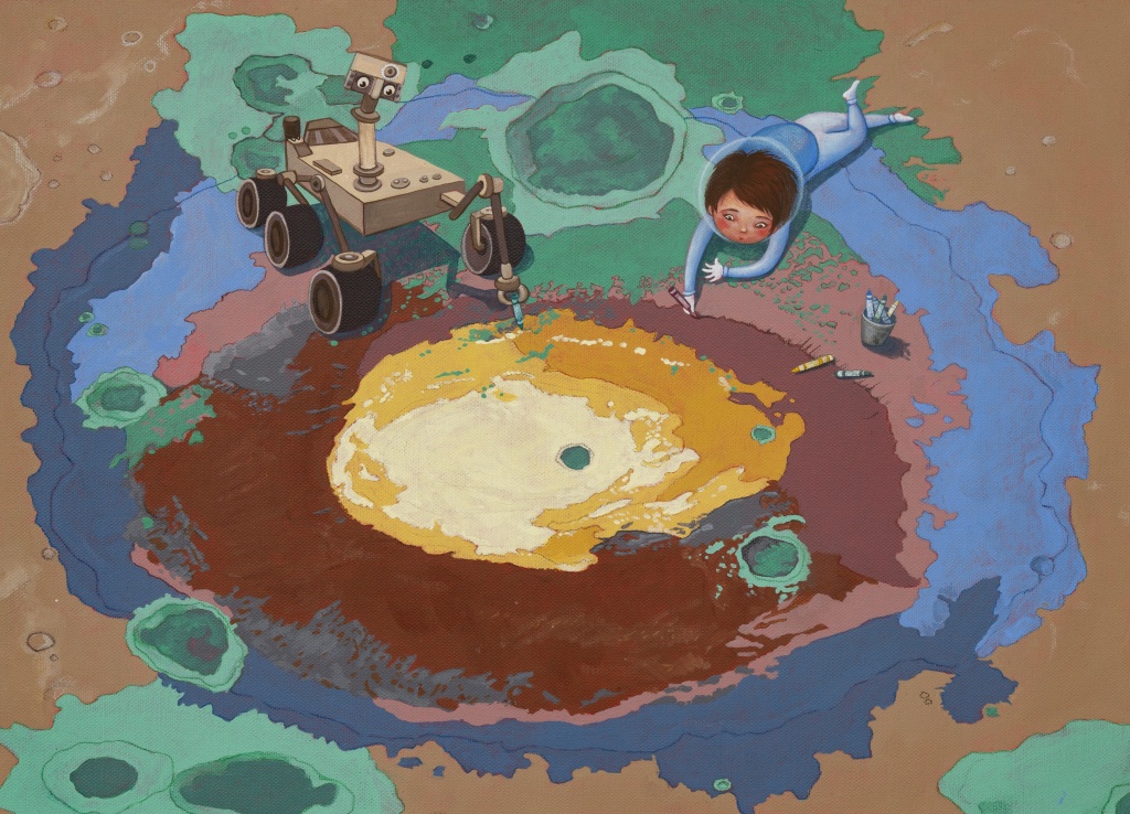
Planetary data have been used for geological mapping since the start of the space era half a century ago. Not only do geological maps increase our knowledge of planetary surfaces and their history, they are crucial for ‘In-Situ Resource Utilisation’ – identifying local materials that could be used sustainably for future human and robotic exploration of the Moon, Mars and beyond.
The Geological Mapping (GMAP) activity within the Europlanet 2024 Research Infrastructure (RI) project focuses on providing tools and services to create, publish and preserve geological maps of Solar System bodies. A major ambition of GMAP is to create an active user group that can provide standards, documentation and tools for the growing community of planetary mappers around the world.

Our first step in developing the GMAP user group was to hold a virtual Planetary Mapping Winter School in February 2021, co-organised with colleagues from the PLANMAP project. Registration was oversubscribed and the training school was attended by 200 early career researchers from every continent, with over 100 participating in live sessions, and around 70 accessing asynchronous content. Following up on the workshop, we launched the first call for registration of GMAP Community Mappers, and over 50 to date have signed up for information on the GMAP community mailing list.
GMAP already has links with several international partners, and the Chinese counterpart of GMAP has been funded recently within the framework of the China-EU co-funding mechanism. The project (Key Technologies and Demonstration of Standardised Planetary Geologic Mapping) aims to develop standardised geological mapping technologies and methods for extracting features from thematic maps, and to make them accessible for implementation in the of upcoming Chinese and European lunar and planetary missions, such as Chang’E-5-8, Tianwen-1 and BepiColombo. Products that come out of the project will be disseminated through the GMAP data portals, and the joint activities will foster collaborations between mappers in Europe, Asia and beyond.
The GMAP Project Team: University of Padova, Jacobs University Bremen, CBK PAN, DLR, ISPRA, INAF, Jacobs University Bremen, Università d’Annunzio, Westfälische Wilhelms-Universität, China University of Geosciences (Beijing), Wuhan University, Peking University, Shandong University and National Space Science Center of China Academy of Science.


